

Darren Kazemi Showcases the Waterways of the Eastern United States
How Good is Packrafting on the East Coast?
Although not traditionally thought of as packrafting country, many rivers in the Eastern United States are certainly wild and scenic enough to warrant that distinction. I’ve spent the past several years gathering information on eastern rivers for packrafters, mostly through chronicling my own adventures.
The aim of Eastern Packrafting has been simple, to encourage more eastern packrafting and find others already doing it. I no longer need to convince whitewater kayakers that packrafts are real boats, as that ship has since sailed.
The Challenges of Eastern Packrafting – Bugs, Rain, Humidity, Sewer Overflows…
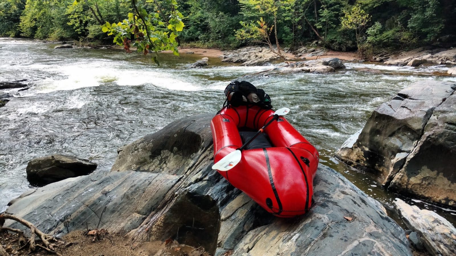
We have local rivers, tributaries, and creeks in the Eastern United States, fed by the region’s excessive rainfall. They run pretty much year round. Sometimes the best “remote” creeking is actually hidden in plain sight. The oppressive humidity, overgrown herd paths, and persistent bugs may deter some, yet challenge others. What better reward than to cool off in the river during the worst days of humidity? If you seek splashy waves and frothy boils, the biting insects won’t be so bad either.
The eastern part of the United States experiences a different sort of issue with water than Out West. Instead of having too little water to go around (seasonal flows, over-apportioned, groundwater overdrafts, etc.), we often get too much. While that’s great for making rivers run high throughout the year, it usually comes at a price — particularly after a major storm. As a result, water managers are more concerned with stormwater best practices for improved flood/erosion control and on preventing sanitary sewer overflows, than they are with efficiency gains.
Many of the older cities in the region still have combined sewer systems, which collects industrial wastewater, sewage, and rainwater runoff, domestic sewage in the same pipe. Often, combined sewer systems transport all of their wastewater to a sewage treatment plant, where it is treated and then discharged to a water body (citation). The ground is often impervious and stormwater runoff collects pollutants on its way to the storm drain. When there are torrential downpours or the ground is already over-saturated, much of the sewer system is overwhelmed.
To prevent sewer overflows and backups, water mains that are supposed to funnel stormwater get inundated with untreated sanitary sewage and together flow out to the nearest river or stream. Structural outfalls are the discharge point of wastewater into the nearest water body and are one of the biggest threats facing eastern rivers.
During heavy rainfall, much of the sewage diverted from the wastewater treatment facility ends up contaminating a nearby river or creek in the form of nutrient loading. The biggest decline in water quality happens at flood stages — as if anyone needed another reason to steer clear of floodwaters than not wanting to drown.
Interestingly, just few hundred years ago saltwater crept higher on the region’s tidal rivers than it does today. The additional runoff from impervious surfaces has increased the freshwater zone and led to more erosion. Fortunately, a lot of remediation work has taken place since the worst decades of abuse
Water Quality of Larger Rivers
Many of the larger rivers today show improvements in water quality. Just a few decades ago the Potomac and James rivers (Maryland and Virginia jurisdiction, respectively) were so polluted that open wounds contacting the water would get infected.
Today, both rivers have made remarkable comebacks. The James River has even become nationally renown for its restoration. These days, scores of whitewater paddlers descend the Lower James. To honor the work of those involved in the clean-up, the International Whitewater Hall of Fame recently chose the banks of the James River in Richmond for their world river center.
The Fall Line
What makes the region particularly interesting for packrafting and whitewater boating is the Atlantic Seaboard fall line: a divide of upland, continental rivers from the coastal plain by a continuous granite ridge. This boundary line down the East Coast marks a series of escarpment cliffs that give way to raging rapids and waterfalls.
The sudden change in elevation, brought on as a result of coastal erosion at the base of the Piedmont plateau, is responsible for the emergence of whitewater here. The fall line will continue to gradually erode and recede over time. At some point in distant geologic time, all the rapids here will flatten out and give way to laminar flow. Then again, the earth will convulse and erode somewhere else and new rapids will be born in a continual cycle of birth and death.
Historically, the fall line was where shipping vessels and coastal navigation slowed to a halt. Portaging was required to pass the turbulent waters. Sea-worthy vessels were simply unable to proceed upstream against the strong current and rapids. This necessitated the use of canals and locks to redirect the flow of water for the transport of goods and people.
Many major cities in the area – from New Jersey down to Alabama – were in fact built near this divide, harnessing also the energy of the moving water to power early industry. Instead of seasonal snowmelt feeding these rivers exclusively, they gorge and swell up from near tropical amounts of rain (as we experienced in 2018).
The Mid-Atlantic & Southeast Zones
In the mid-Atlantic and Southeast region alone, a lot of amazing whitewater runs within the falls zone. Not all are suitable to run in packrafts though.
In fact, just several miles upriver from the Washington Monument is one of the roughest stretches of whitewater in the world. The Great Falls of the Potomac River drop over 70 feet in a half mile. The first known descent of the falls was made in the 1970’s. Prior to that, extreme kayakers didn’t run waterfalls. The further south you travel along the Piedmont, in places like the Carolinas and Georgia, the more inland the fall line rapids get as the plateau inches further from the coast.
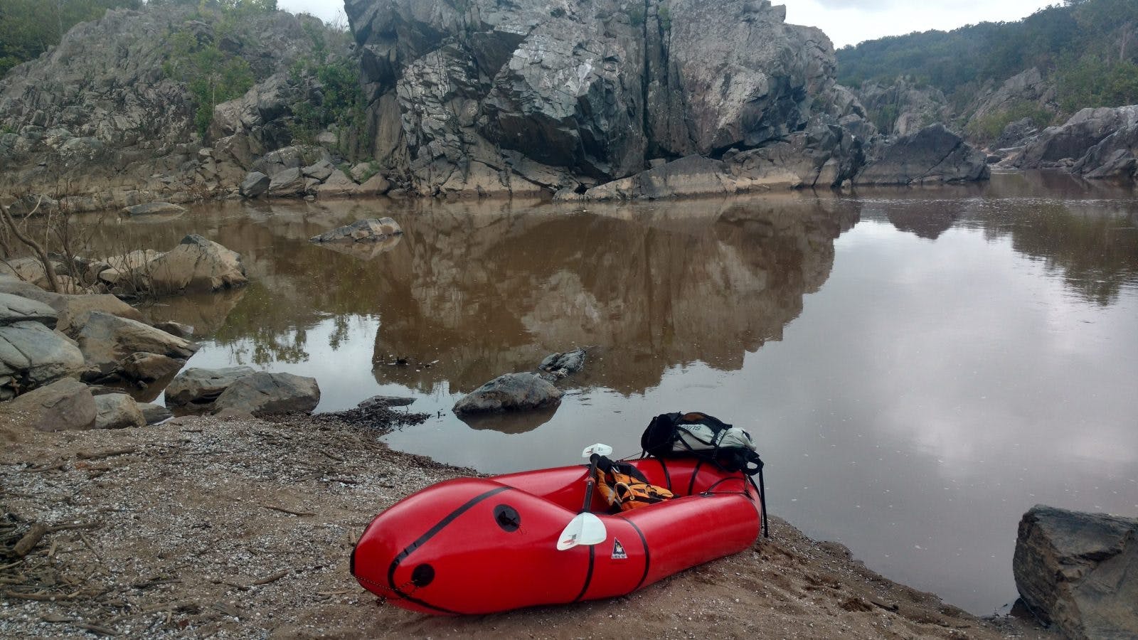
Few rivers today are actually free-flowing; since the removal of Embrey Dam, the Rappahannock River in Virginia has gained the distinction of being the longest free-flowing river on the East Coast.
Tidal Influence
The effect of tides on the intensity of rapids nearest to the tidal reach – as on some mid-Atlantic and Southeast rivers – adds an interesting twist to many lower reach runs. Paddlers on the Little Falls of the Potomac River know this feature very well. Rapids tend to be more challenging and technical at low tide, regardless of water levels. At high tide some of the more technical features of the rapids get washed out.
Flowing through Richmond, the lower James River falls right at the head of the tide, producing some impressive Class IV rapids around a popular boulder garden. Eventually though, all inland river waters of the region breach the coastal plain and flow out into sluggish tidal estuaries. There, they exchange rapids and waterfalls for wind-battered waves and wakes from drunks on speedboats.
The estuarine environment, while oppressively muggy during the summer, is also worthy of packrafting if you have enough mosquito repellent to last a lifetime. You can read tide charts to optimize paddling down to a protected bay or sea — though packrafts start to lose many of their advantages in unfavorable tidal currents. The Eastern Shore of Maryland and Tidewater Virginia have a lot of scenic, tidal rivers.
Mountain Rivers and Dam-releases
As you move away from the coastlines and bays there are other predominately rain-fed and dam-released rivers. Many of these benefit from the additional snowmelt in the spring. Although there are few free-flowing rivers here, there are plenty of dam operators willing to yield to recreational/tour operator pressure. Scheduled releases usually coincide with peak demand.
For packrafters, that often means being out on the water with raft tours and large numbers of boaters (i.e. Gauley Fest in West Virginia). While not exactly the remote image that is often conjured up with packrafting, the extra rush that it provides is usually a lot of fun — weaving in between large rafts, flipped rafts, and swimmers galore. The Upper Youghiogheny River delivers legendary East Coast carnage and remote water.
You can find rivers with steeper gradients and narrower, more gorge-like rapids in the Blue Ridge and Appalachian mountains. The waters tend to get wilder the further south you go. Western North Carolina/Eastern Tennessee/North Georgia boast not only the highest mountain peaks east of the Mississippi, but also some of biggest falls and rapids (think Tallulah Falls, as shown in the cult classic film Deliverance).
Glacial Lakes and Streams
Further north, in Upstate New York and New England, numerous meltwater streams and lakes formed of receded glacial moraines. After the last Ice Age, the accumulation of till washed away and deposited sediment along the margins of the glacial maximum, creating narrow ridges out to sea. I have yet to packraft New England, but I imagine it would be good.
Summary
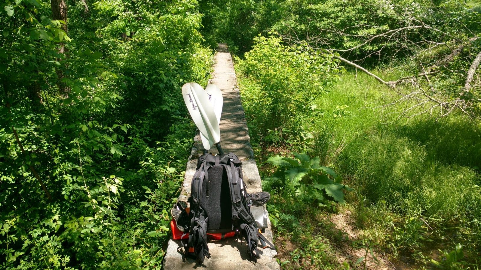
From big rivers and remote feeder creeks, to placid lakes and tidal bays, the East Coast has it all. You can often go a whole day without seeing anyone else on a river or portage trail, despite the population density nearby. River trails, or what has often become of them, are usually overgrown and narrow, requiring a bit of bushwhacking to make passage through. Hence, they are usually left alone by most people. If you do cross paths with others on the trail, they will often question the whereabouts of your boat. No one is expecting you to be actually carrying it.